|
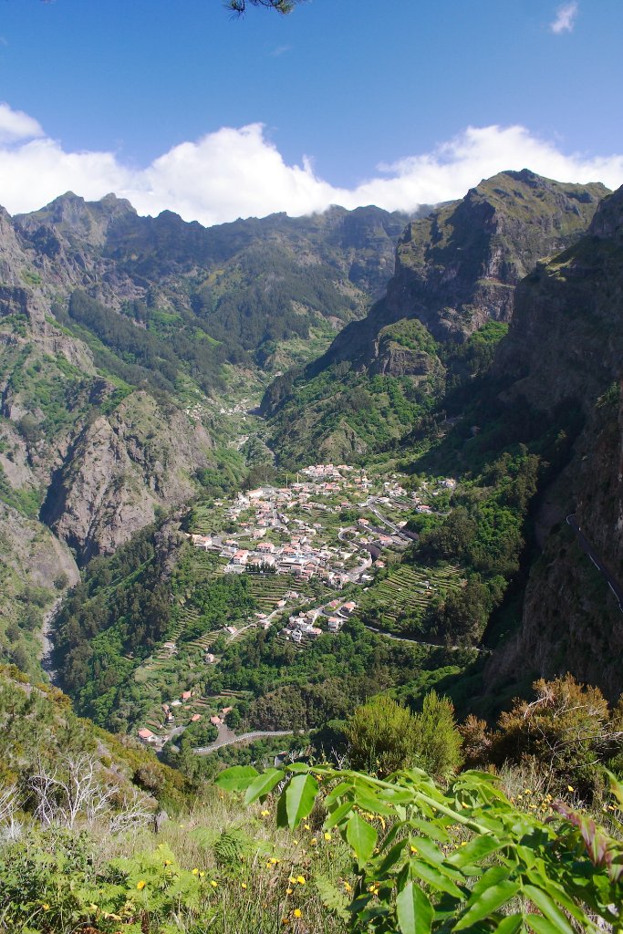 |
| The town | |
| Latitude: N 32°42'37,40" | Longitude: W 16°57'51,51" | Altitude: 1047 metres | City: Curral das Freiras | State/Province: Ilha da Madeira | Country: Portugal | Copyright: Ron Harkink | See map | |
| Total images: 62 | Help | |
|
|
|
| The town | |
| Latitude: N 32°42'37,40" | Longitude: W 16°57'51,51" | Altitude: 1047 metres | City: Curral das Freiras | State/Province: Ilha da Madeira | Country: Portugal | Copyright: Ron Harkink | See map | |
| Total images: 62 | Help | |